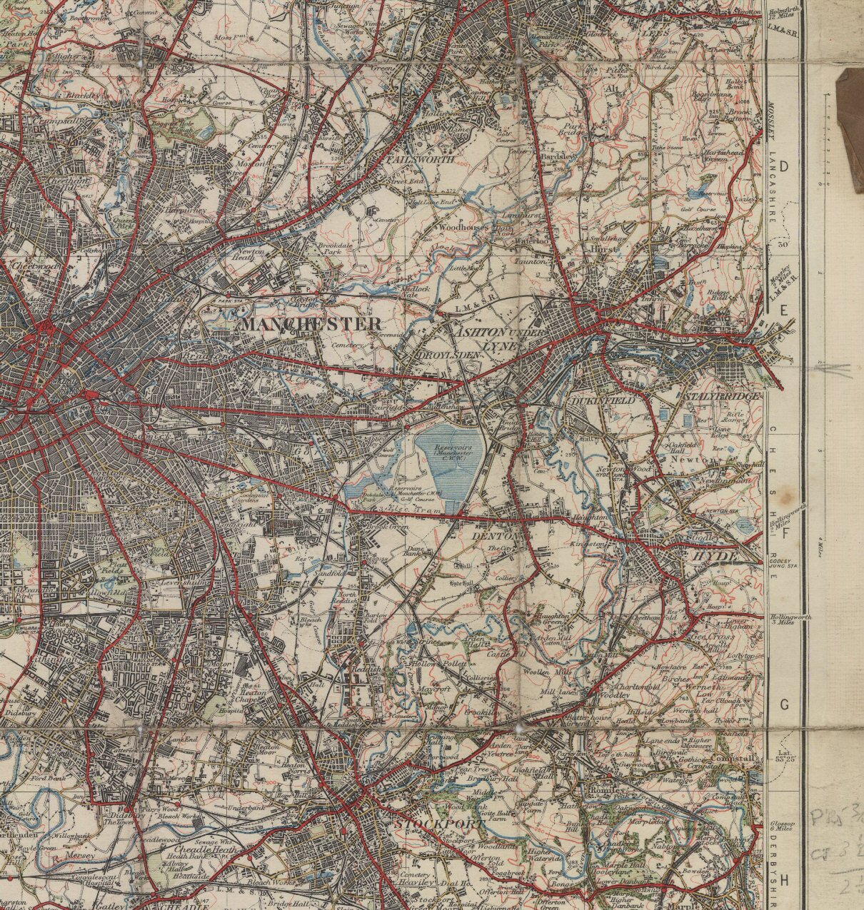
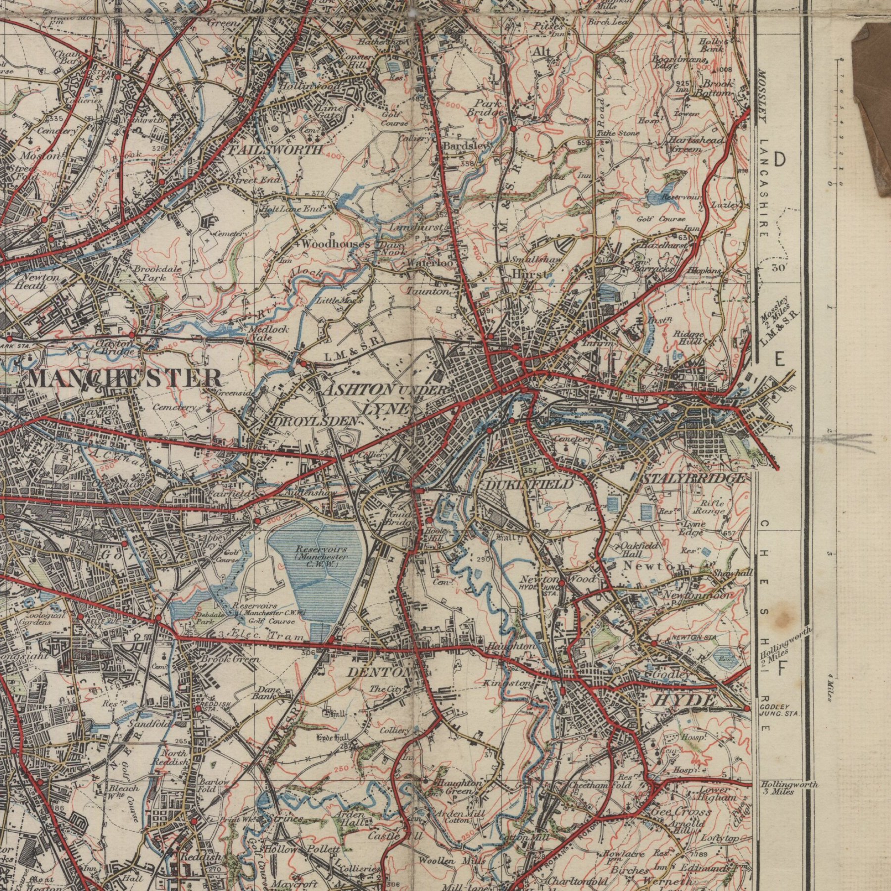
This is Segment H of the 1924 Ordnance Survey One Inch Map of Bolton and Manchester. This particular image is reduced in scale from the original. A larger version of this segment is available at very nearly the same scale as the original - but it's over a megabyte in size!
This map is more than 50 years old and is therefore out of copyright. Ordnance Survey has asserted its right to be identified as the author of the map, which is Sheet 36 of the "Popular Edition One Inch Map" series, at a scale of One Inch to the Mile or 1:63,360.
Return to the 1924 Map page.
This page was last updated in July 2008. Comments on this site, or notice of any broken links, are always welcome: mail me.
It covers the Manchester, Ashton and Stalybridge areas.